GMDSS Sea Areas

GMDSS is an internationally agreed radio safety system and communication protocol for ships mandated by the International Maritime Organisation(IMO). Ships engaged in international shipping (SOLAS vessels) are obliged to carry GMDSS certified communication equipment. If the emergency was to happen and the ship needed rescue and support, they must use an internationally accepted safety system that can alert nearby ships for help. If the marine radio on the ships without GMDSS protocol, it can’t get help quickly. With the development of international navigation and the increasing number of ships, the demand for marine radio is also greatly increased. We need to understand not only the corresponding marine radios and their using rules, but also the division of sea areas. This article to explain the GMDSS certified sea areas.
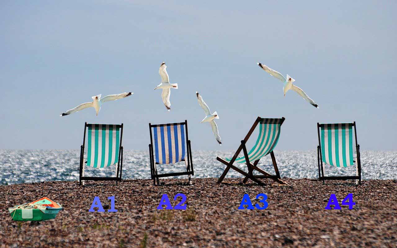
GMDSS Sea Area
A1 Sea Area: This area is within the coverage of VHF coast stations where DSC is available(CH70) so you must use VHF radios with DSC capabilities. The radio range can extend about 35 nautical miles in this area.
A2 Sea Area: A2 excludes A1 Sea Area. This coverage needs an MF coast station and provides DSC (2187.5KHz) alert. This area typically extends up from 35 nautical miles to 150 nautical miles offshore. So an MF radio station set up is required.
A3 Sea Area: A3 excludes A1 and A2 Sea Areas. this area is within the coverage of INMARSAT geostationary satellites. Here a complete VHF radio and either an MF/HF radio or INMARSAT station are required. This area covers 70-degrees North Latitude and 70-degrees South Latitude.
A4 Sea Area: A4 excludes the above three areas and is essentially the polar regions. A complete VHF and MF/HF radio station must be used in this area. This covers 71-degrees North Latitude and above 71-degrees South Latitude.